

Salt Lick Point Land and Water Preserve
Park in Valmeyer, Illinois, Waterloo, IL 62295
Hiking & Trails
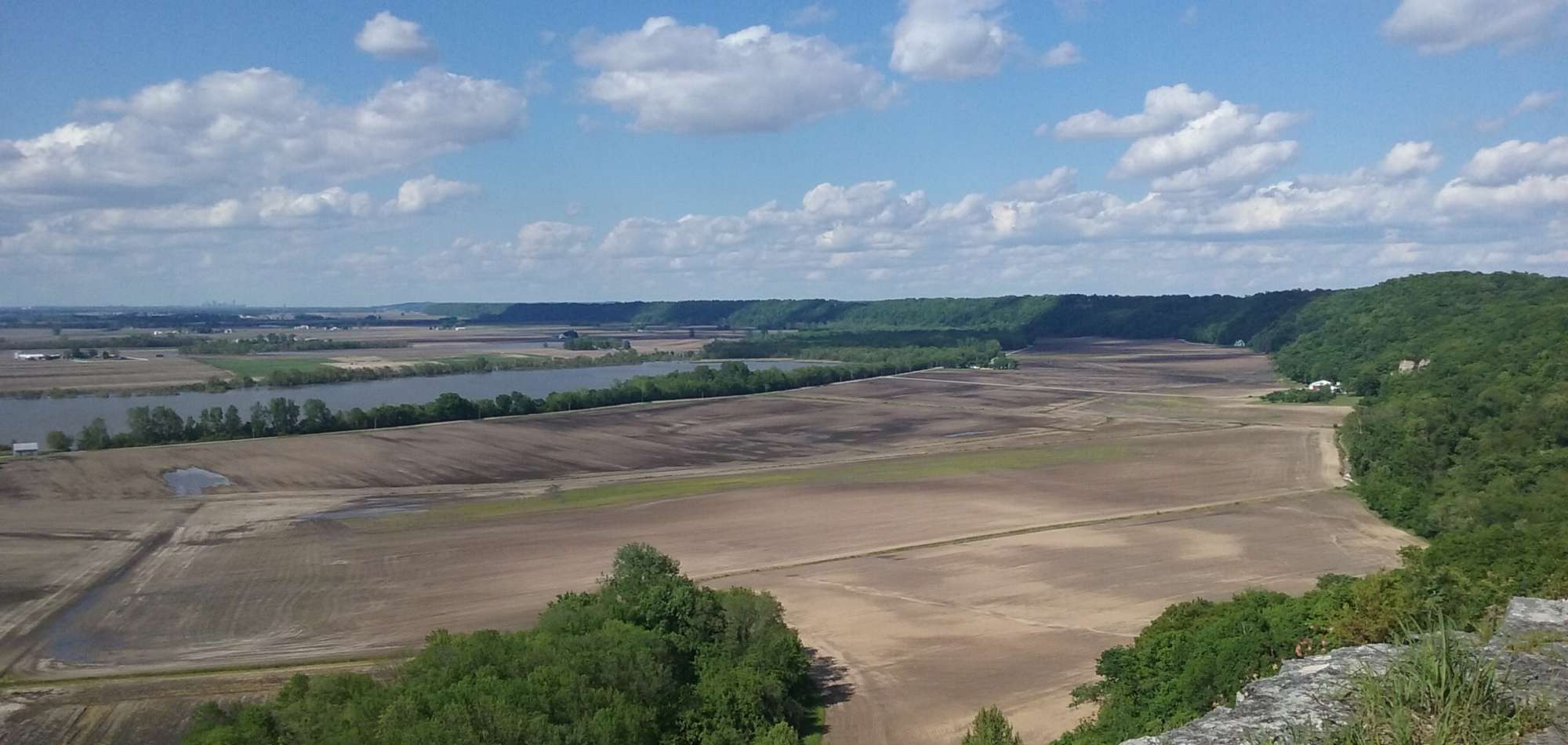
This 594-acre reserve in Monroe County has several gentle flat trails. Owned by the Village of Valmeyer. Named for one of the highest points in Monroe County, at more than 810-feet elevation, Salt Lick Point is named for the salt wells of the area.
Three trails make up the Salt Lick system: The Johnson Trail is 1.3 miles along the base of the bluff and is an easy walk; the Salt Lick Point Trail is 1.8 miles and is a bit more challenging, but affords beautiful views across the Mississippi River flood plain. The third trail is the 1.9 mile Newman Trail which connects to both the Johnson and Salt Lick Point Trails.